
Fichtelgebirge
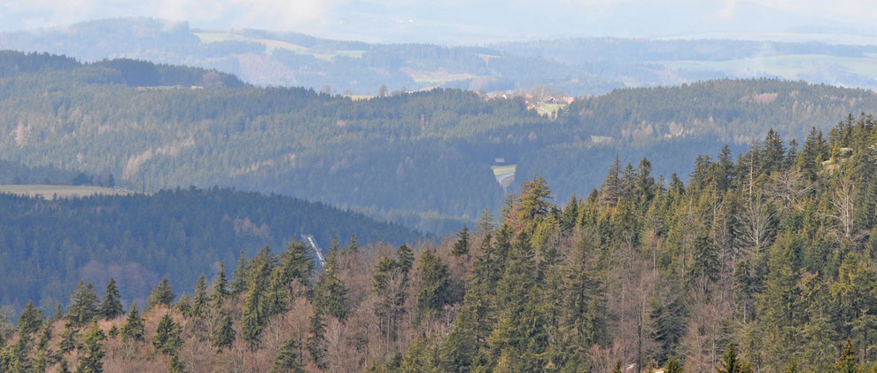
The Fichtelgebirge is the highest low-mountain range in Franconia, characterized by its extensive spruce forests. Astonishingly, some of the rarest and most elusive breeding species have been recorded here. However, since it is seldom visited, information on the birdlife is scarce. Maybe this article can contribute to pay it more attention in the future.
Vogelarten
|
Breeders:
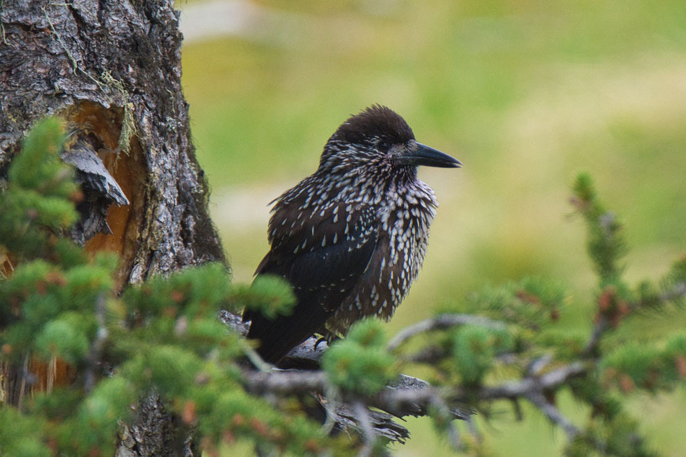
Black Woodpecker, Capercaillie (very rare), Crested Tit, Hazel Grouse (very rare), Pygmy Owl, Red Crossbill, Ring Ouzel (very rare), Spotted
Nutcracker, Tengmalm's Owl, Three-toed Woodpecker (rare), Wood Warbler
|
Access
By car: Leave the motorway A 9 at the exit "Bad Berneck / Himmelkron" and follow the B 303 in the direction of Wunsiedel. After 22 km you'll find a suitable car park immediately behind the turn-off for Fichtelberg.
By public transport: Generally, it is quite difficult to reach this region by public transport. The next bus stop is situated near the turn-off for Fichtelberg and is approached
by the lines 329 and 369.
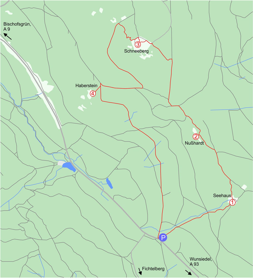
As already mentioned there are quite few data on the current breeding situation, so it is far from guaranteed to spot one of the rare breeding species, particularly the two grouse species. Since the latter are extremely sensitive to any kind of disturbance, no concrete tips and information will be given in the following. The suggested circuit walk starts at the car park. The path leads uphill towards the Seehaus (1), a hut located close to the mountain ridge.
Keep afterwards left and continue the route towards the well signposted Nußhardt which is situated 1 km eastwards. From there (2) you can enjoy a fantastic panorama. For reaching the highest elevation on this tour follow the signs to Schneeberg, navigation shouldn't be very difficult (although a hiking map is certainly advisable). The open plateau on its top is used for meteorological surveys and therefore closed for public. Yet, you can view it quite well from a small observation tower (3), called "Backöfele". Pay particularly attention to Ring Ouzel, Spotted Nutcracker and resting migrants in this area.
Leave the plateau on a small trail in northwestern direction until you reach a T-junction. Turn here left and keep following the signposts to the Haberstein (4). As information panels show this stone run is also interesting for Ring Ouzels. From here the hiking path leads for almost 3 km always downhill to the car park "Seehaus". When you leave the coniferous forest and pass through an area with mixed an deciduous fourest, look out for Wood Warblers which have regularly been recorded there. In total, the circuit walk has a length of 9,3 km and an elevation gain of 355m.
GPS-Koordinaten:
(1) [50°01'56.56"N 11°52'19.53"E]
(2) [50°02'26.54"N 11°51'54.02"E]
(3) [50°03'09.25"N 11°51'12.24"E]
(4) [50°02'46.52"N 11°50'40.48"E]
P [50°01'39"N 11°51'29.43"E]